
River Information Systems (RIS)
Discuss vessel-to-shore links and remote-site connectivity for inland-waterway projects.
Review your quote list →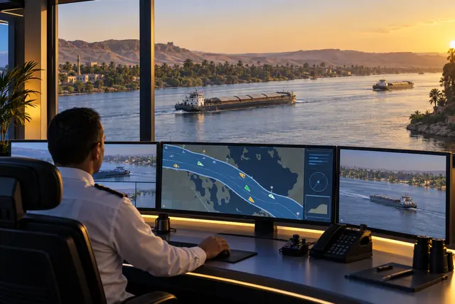
Plan communication for inland-waterway operations.
River Information Systems bring information together to support inland-waterway operations. For an EgyptSat project, start by defining the communication needed between vessels, shore locations and operational systems.
How it fits your project
The scope may require connectivity to existing monitoring and information platforms. Specific navigation, tracking, sensor and software components must be identified during project design; no complete RIS platform or particular integration is specified on this page.
Typical applications
- Vessel-to-shore communication planning
- Connectivity for remote shore locations
- Data links to existing operational information systems
Before requesting a quote
Share the waterways, vessels, shore sites and systems to be connected. Ask EgyptSat to confirm supported interfaces, coverage, equipment and the responsibilities of each project supplier.